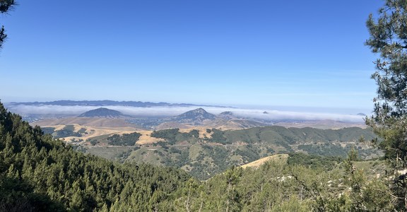
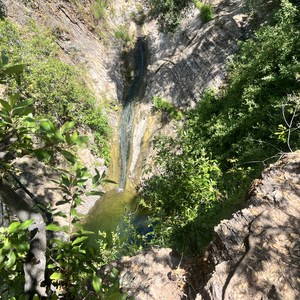
Ladycomb Peak Loop is a 17.3-mile route along the base of the Pueblo Mountains, located just outside the small town of Denio, Oregon. This route begins at Denio-Fields Road, travels up Domingo Pass Road, circumnavigates Ladycomb Peak, and returns. This challenging loop trail invites hikers to explore the remote beauty of the high desert, offering unique geological formations, panoramic views, and the serene solitude of untouched landscapes. It is ideal for experienced hikers seeking an adventure in the vast wilderness.
Your adventure starts on Denio-Fields Road, where you'll find the trailhead leading to Domingo Pass Road. The initial ascent is gradual, allowing hikers to acclimate to the elevation while enjoying the vast, open desert stretching out in all directions.
Domingo Pass Road guides you through the high desert, winding its way upward through rugged terrain adorned with sagebrush, juniper, and the occasional blooming cactus. Keep an eye out for wildlife, as the area is home to jackrabbits, pronghorns, and various bird species.
As you approach Ladycomb Peak, the trail begins its loop around this distinctive landmark. This section offers some of the hike's most spectacular views, with Ladycomb Peak's unique rock formations providing a dramatic backdrop. The loop around the peak allows hikers to appreciate its beauty from every angle, offering opportunities for photography and birdwatching.
After completing the loop, retrace your steps along Domingo Pass Road, descending back to the starting point on Denio-Fields Road. This route is an extraordinary opportunity to experience the solitude and grandeur of the high desert.
Best Time to Visit: Spring and fall, when temperatures are milder, and the desert flora is either blooming or showcasing vibrant fall colors.
Safety and Considerations:
- Navigation skills are essential, as the trail can be faint in places. Carry a detailed map, compass, and GPS device.
- Water sources are non-existent; hikers must carry all necessary water for the journey.
- The desert environment can be harsh; prepare for exposure to the sun and potentially high winds.
- Dress appropriately and prepare to navigate rocky and uneven terrain.
- Inform someone of your hiking plans and expected return time due to the remote nature of this trail.
Trailhead Information: The trailhead is located along Denio-Fields Road, with limited roadside parking available. Ensure your vehicle is off the roadway and secured.


Comments
Sign In and share them.