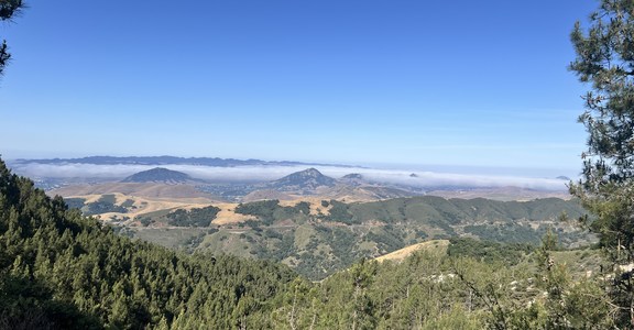
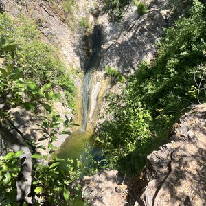
Walker Basin Loop is a 23-mile loop within the Coronado National Forest. It follows a combination of trails, including the Arizona Trail and Walker Basin #136, a little-used trail that offers access to the more remote southeastern slopes and foothills of the Santa Rita Mountains.
Walker Basin Trail offers views to the east down Big Casa Blanca Canyon and west to the summits of Mt. Josephine and Mt. Wrightson. This route is accessible for runners, hikers, and long-distance backpackers.
Starting from the Temporal Gulch Trailhead, this route begins with a long ascent into the Santa Rita Mountains, a rugged sky island range with steep slopes and granite peaks. The area features incredible biodiversity and is home to rare birds and some plants that occur nowhere else outside of Mexico. Mount Wrightson, the high point of the Santa Rita Mountains, rises to an elevation of 9,453 feet and has a distinctive pyramid peak that can be seen throughout much of this loop.
This route circumnavigates Josephine Peak and gets close to Wrightson Peak, offering opportunities to summit one or both mountains.
WATER
Water sources in the area can be scarce or seasonal. Always check the Arizona Trail Water Report for current conditions. Carry sufficient water for your hike, and consider a water purification method if you plan to refill from natural sources.
Water information along the Arizona Trail portion of this loop can be found by visiting, https://aztrail.org/explore/water-sources/.
WILDLIFE
The area is home to a variety of wildlife, including black bears and mountain lions. Store food properly, make noise while hiking to avoid surprising animals, and know what to do if you encounter wildlife. Be cautious of snakes, especially when hiking in warmer months. Watch where you step or place your hands.
NAVIGATION
While the trail is marked, sections can be less traveled and hard to follow. Carry a map, compass, and consider a GPS device. Familiarize yourself with the route before you begin. Pay attention to trail junctions to avoid taking a wrong turn.
CAMPING
The Coronado National Forest generally allows dispersed camping, which means you can camp outside of developed campgrounds. Dispersed camping is a way to experience the wilderness more intimately. Remember to choose sites that are at least 200 feet away from any water source and trail to minimize impact.
ADDITIONAL INFORMATION INFORMATION
Arizona National Scenic Trail Association: www.aztrail.org


Comments
Sign In and share them.