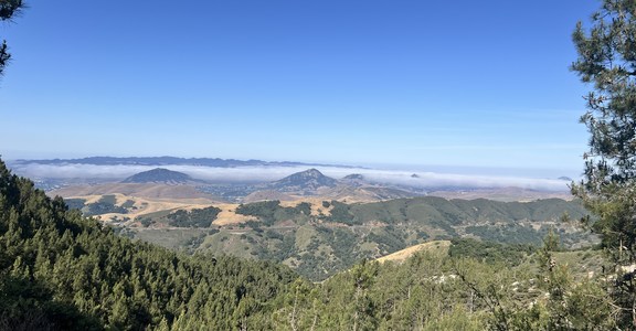
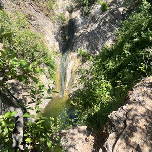
Central Joshua Tree Loop is a 37.70-mile route that circumnavigates the central portion of Joshua Tree National Park. It features a wide range of desert vegetation, wildlife, and scenery. It passes by some of the more popular attractions and also features sections where you can easily find solitude.
This route traverses a sandy terrain with rolling hills, a gentle grade, and an overall elevation gain of 3,829’. It passes through desert brush, grasses, and wildflowers.
The trailhead is easily accessible and located off of Park Boulevard, the main road through the park. From there, the route heads in a counterclockwise direction starting with the Bigfoot Trail. It crosses Panorama Trail and Quail Wash, then follows Lower Covington Flat Trail south.
The route offers access to Quail Mountain and Mount Minerva Hoyt and follows the scenic Stubbe Springs Trail. Continuing east on the California Riding and Hiking Trail, the trail enters Ryan Campground and crosses trails which lead to Cap Rock and Hidden Valley Nature Trail.
To complete the loop, it follows the Old Lost Horse Road Trail north and the Quail Springs Loop Trail back to the Bigfoot Trail.
WHEN TO GO
This hike is best in the fall and spring (October - May), when temperatures are more mild. Winter is manageable but it can get cold and windy and summer is extremely hot with little exposure and no water.
WATER
There is no shade or water along this route, all water must be brought with you and carried throughout the duration.
CAMPING
As of March 1, 2023, Joshua Tree National Park will require overnight permits to be reserved in advance at www.recreation.gov. For more information about the new policy and how to obtain a permit please visit https://www.nps.gov/jotr/planyourvisit/backpacking.htm.
Backcountry campsites must be:
WILDERNESS REGULATIONS
This route goes through designated Wilderness where certain restrictions apply. Some of these include:
-
No motorized equipment or mechanical transport, with the exception of wheelchairs.
-
Water sources in the park are not potable and are reserved for wildlife, so you will have to carry in an adequate supply for drinking, cooking, and hygiene.
-
Open fires are prohibited.
PARK FEES
Joshua Tree National Park charges a fee to enter. For more information, please visit https://www.nps.gov/jotr/planyourvisit/fees.htm.
ADDITIONAL INFORMATION
Joshua Tree National Park
Visitor Information: 1-760-367-5500


Comments
Sign In and share them.