Pets allowed
Allowed
Elevation Gain
60.00 ft (18.29 m)
Trail type
Loop
Distance
1.30 mi (2.09 km)
Please respect the outdoors by practicing Leave No Trace. Learn more about how to apply the principles of Leave No Trace on your next outdoor adventure here.

The Burn Canyon Trail System consists of about 14 miles of single-track trail for hikers, equestrians, and mountain bikers. The area is located just west of Norwood and can be accessed by a smooth gravel road (AA42 Road/Norwood Burn Road) that should be passible in any vehicle. There are a couple of possible starting points: a small lower trailhead at the bottom of McKee Draw (access to McKee Draw and Flat Iron Loop), the large main upper trailhead a mile past (access to all trails), and roadside access 1.5 mile further (access to Cedar Post and Hideout Canyon Loops, high clearance 4x4 recommended).

The Buttermilk Loop is perhaps the easiest hike within the Burn Canyon Trail System. It is easily accessed via the main trailhead, and makes a short loop through typical high desert terrain with juniper and pinyon pines trees.

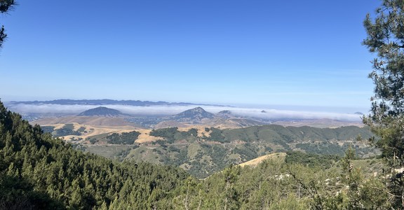
The Buttermilk Trail mostly follows singletrack, but does have a short section that follows an old 4x4 road. Views are limited, but the northern end of the loop does offer a great vista point.

The loop can also be joined with the Pinyon Point Trail to form a longer hike.

Logistics + Planning

Preferable season(s)

Summer
Fall

Congestion

Low

Parking Pass

None

Open Year-round

Yes

Pros

Easy loop. One good viewpoint. Can be combined with other trails for a longer hike.

Trailhead Elevation

6,900.00 ft (2,103.12 m)

Highest point

6,905.00 ft (2,104.64 m)

Features

Wildlife
Family friendly
Big vistas

Typically multi-day

No

Suitable for

Biking
Horseback

Permit required

No

Location

Nearby Lodging + Camping

Comments

Have updates, photos, alerts, or just want to leave a comment?
Sign In and share them.