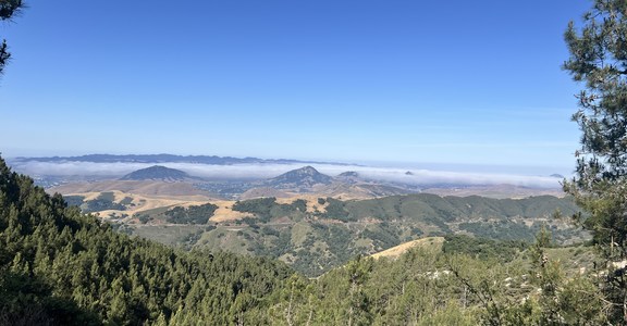
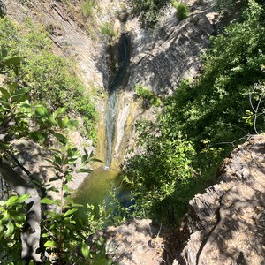
The Mount Elbert Loop is a 17-mile loop that takes you up Mount Elbert (14,440'), Colorado's highest peak. The route follows a fairly well-trodden path across moderate terrain, making it accessible to most fitness levels.
Like any high peak, however, weather, altitude, and cardiovascular training should all be considered before attempting this climb. Be prepared for several hours of exertion at a high altitude. The route takes place between 9,500 and 14,440 feet of elevation and has an overall gain of about 5,287’. All things considered, Mount Elbert provides a great opportunity to climb a high peak and enjoy a beautiful day in the mountains.
This route begins at the South Mount Elbert Trailhead at the end of County Road 24, north of Twin Lakes. Take the Colorado Trail north for 6 miles, then the North Mount Elbert Trail up to the peak. You will descend the southeast ridge of Mount Elbert via the South Mount Elbert Trail. Then, when you reach the trail junction, follow the Colorado Trail south to complete the loop and return back to the South Mount Elbert Trailhead.
PERMITS
There are no permits required to hike this peak.
CAMPING
Dispersed camping is permitted in the Pike-San Isabel National Forest. Visit the USFS website for rules and regulations specific to this area.
For information about campground camping, check out the Lakeview Campground which is located near the trailhead.
CONSIDERATIONS
-
Weather can change quickly in the mountains, make sure to check the current status before heading out.
-
Start early to avoid afternoon storms.
-
Turn around if you see dark clouds building.
ADDITIONAL INFORMATION
USFS - South Mount Elbert
Dispersed Camping


Comments
Sign In and share them.