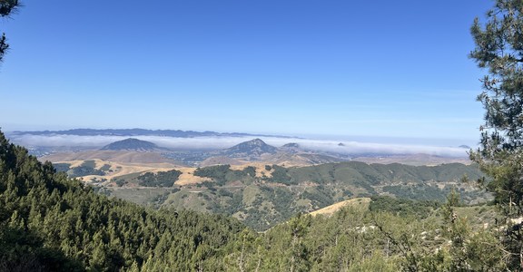
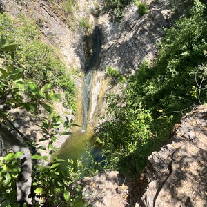
Charleston Peak, at 11,916 feet, is the eighth highest mountain in Nevada and a popular destination for hikers and skiers alike. The peak is visited year round, has a ski area, and sees plenty of visitors on its variety of trails due to its proximity to Las Vegas.
There are two main trails to get to the summit, South Loop and North Loop. Both trails can be done as an out-and-back (they aren't actually loops but rather can be combined to form a loop), but to get the full experience, combining the two into a loop is highly recomomended. This will require leaving one car at the start and the other one at the finish trailhead, and shuttling, or walking the road for one to two miles in between trailheads. Either way, combining both trails will involve a 16 mile trip with aboout 4,500 feet elevation gain.
South Trail Loop starts/ends at the Cathedral Rock trailhead/parking lot, whereas the North Trail Loop portion of the loop start/ends at Trail Canyon trailhead/parking lot. Starting at the South Loop, the trail gradually climbs up and switchback-ing for almost 4 miles until you reach a ridge. Here the trails split where one can go to Griffith Peak (this detour will dd another mile round trip and almost 500 feet of elevation gain ), or head west to continue on to Charleston Peak.
After the junction, you will enter 'the meadow,' which is popular with campers. The trail here is rolling with gorgeous views on both sides. After enjoying roughly two miles of gentle terrain, the trail will begin to steepen again but by this time, you will be able to see your destination. Just two more climbs to get there. Pushing on, the terrain changes to barren landscape and wraps around a hill that at first looks very daunting then before you know it, you only have one more steep push to the summit.
Near the summit, there is a remnant of a 1955 plane crash site where a CIA C-54 military air transport service plane on route from Burbank to Groom Lake crashed during a blizzard. The remains from the plane can still be seen just off the main southern trail of the peak and gives an eerie feeling and stark reminder of how harsh conditions in the mountains can be.
The view from the summit is hard to beat. On a clear day you can see a 360-degree view of California's various southern mountain ranges to the west and Las vegas to the east. At nearly 12,000 feet, it can get pretty windy and cold up at the summit even when the canyons down at lower elevation are blazing hot.
Once you are ready to head down continue clockwise down the North Trail Loop to Trail Canyon. The North Trail Loop will drop down steeply and wrap around a cliff. This trail here has a different feel and type of terrain with a bit of exposre around the cliff. After a couple of miles and what feels like never ending rolling terrain, you enter more of a forested area, and then all of the sudden there are more people. This is your clue that you are getting closer to the Trail Canyon Trailhead, where your journey for the day ends.


Comments
Sign In and share them.