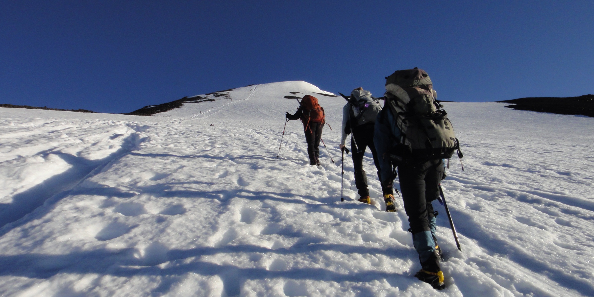
Sprouting out of the Gifford Pinchot National Forest, the snowcapped peak of Mount Adams dominates the horizon along with neighboring Mount Rainier. The summit towers over 6,000 feet above the trailhead. In the early season climbers will see a snow covered mountaineer's route leading straight out of the parking lot; in summer months the trail is a beaten path flanked by wildflowers.
Climbers who reach Crescent Glacier are faced with the meandering snowfields that lead to Lunch Counter, a campsite with spectacular views of the summit. Here the leisure climber can camp in one of the many wind protected tent sites and wait for the breathtaking sunset when the sun dips behind neighboring Mount St. Helens. Arriving at the false summit, climbers find themselves immersed in a white moonscape, with the real summit nearly a stone’s throw away. From the summit you'll have panoramic views of Mount Rainier to the north, Mount St. Helens to the west, and Mount Hood to the south, not to mention the cloud blanketed valleys below. Be sure to liberally apply sunscreen to battle the intense sun and to watch for storms that roll in quickly on unsuspecting climbers.
While the South Route is not a technical climb, a helmet, ice ax, and crampons are highly advised.
Note: Between June 1 and September 31 a Cascade Volcano Pass is required for travel above 7,000 feet. The pass can be obtained at the Mount Adams Ranger Station in Trout Lake, Washington (509.395.3400), or it can be ordered online for receipt by mail. The cost is $15 for weekends, $10 for weekdays, or $30 for an annual pass. The permit stub for each climber must be displayed in the windshield of your vehicle.


Comments
Sign In and share them.